
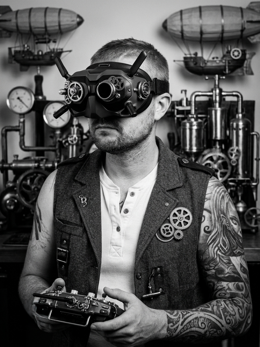
Who's Behind The Camera
Not a studio.
Just flight time.
Photography captures a memory. This captures a perspective — the one almost no one gets.
Low through the trees. High above it all.
01
Aerial Operations —
Any Purpose
Real estate listings, construction progress, site surveys, events, security documentation, weddings, family shoots, couples sessions, sports and action — ski, surfing. If the shot exists from above, I get it — with the flight discipline and situational awareness to do it right.
02
3D Modeling —
Outdoor & Indoor
Photogrammetric reconstruction and Gaussian Splatting of outdoor and indoor sites — buildings, yards, terrain, structures, and interior spaces. Small to medium areas, delivered as dense point clouds, textured mesh, or photorealistic 3D Gaussian Splat output.
03
Georeferenced
Output
Every model is anchored to real-world coordinates. Import directly into GIS platforms, overlay on maps, or use as a base layer for planning and documentation — it knows exactly where it was captured.